 Stars to Guide the Way
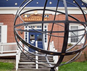
Since 1960, the Treworgy Planetarium at Mystic Seaport Museum has been a center for science education, inspiring visitors to draw connections between our maritime history and the world and skies around us. When we look up at the sky, we see the very same stars that guided sailors long ago, as they developed their navigational tools and instruments. We have come a long way from the compass and sextant to the GPS units that many of our smartphones have. In order to truly appreciate the technological luxuries we enjoy today, it is important now more than ever to preserve the traditions of the past.
Inside the Planetarium
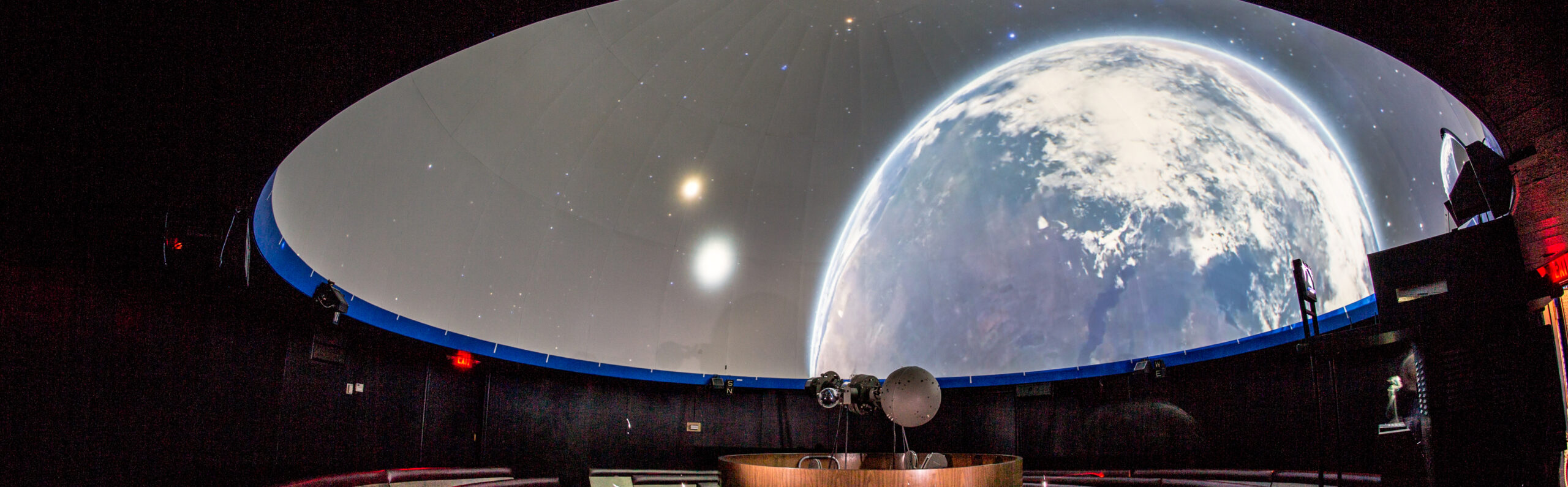
Your family can participate in all of our shows at the Treworgy Planetarium, each one a live program delivered by a dynamic member of the Planetarium staff. Come see the sun, moon, planets, and stars like you’ve never seen them before! You will be immersed in a sea of stars, and the constellations will guide us on an unforgettable journey through the galaxy.
What’s in a Name?
If you’re wondering how our name is pronounced, think “TRUE-urr-gee.” Originally named the “Seaport Planetarium,” the Planetarium was re-named in 2009 in memory of Don Treworgy. Don worked at the Planetarium for 48 years, including 44 years as its Director, and was beloved by the Museum’s staff, volunteers, and visitors. The current staff is honored to work at a Planetarium that bears Don’s name, and his memory inspires us to continue the mission of education in the fields of astronomy, navigation, and maritime history.